Section 30: Dares Hill Summit Rd to Hallett

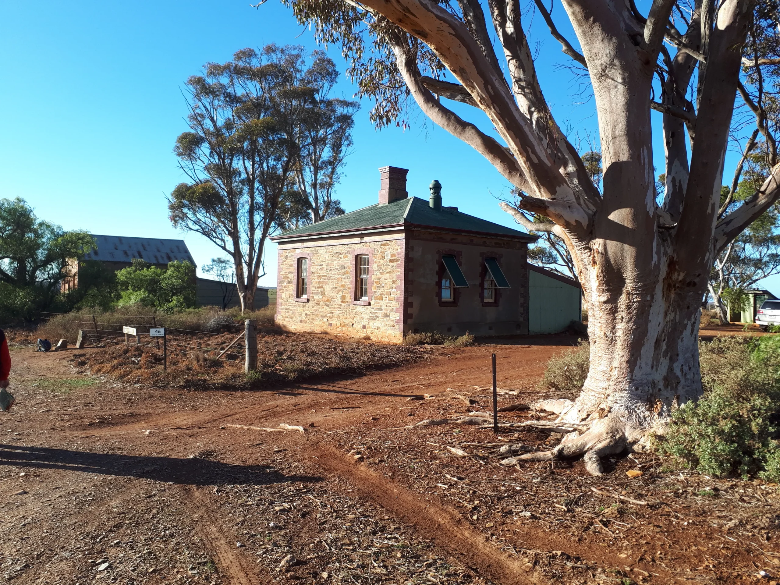
The Trail takes you past the historic Mount Bryan East School before you begin the climb up Mount Bryan, the highest point of the Mount Lofty Ranges. From the summit you’ll be rewarded with panoramic views of the Mid North before you descend through grazing and farming land towards Hallett, once a railhead for the local farming community.

Quick stats
20km
Map & GPS Files

View map in full screen format.
View full featured Interative Map of the Heysen Trail.

Download GPX file.
Download KML file for Google Earth/Maps.
Download full-featured GPX and/or KML files of the Heysen Trail.

Mapsheet 4B, Caroona Creek Conservation Park to Hallett

Re-Routes
Location of Dares Hill Summit Rd
183 014
(318300 6301400 zone 54)
Latitude: -33.4113746806 (33° 24' 40.9489")
Longitude: 139.0459648444 (139° 2' 45.4734")
View in Google Maps
Location of Hallett
041 004
(304100 6300400 zone 54)
Latitude: -33.417889 (33° 25' 4.4004")
Longitude: 138.893124 (138° 53' 35.2464")
View in Google Maps