Section 43: Melrose to Alligator Gorge Rd Region: Flinders Ranges 
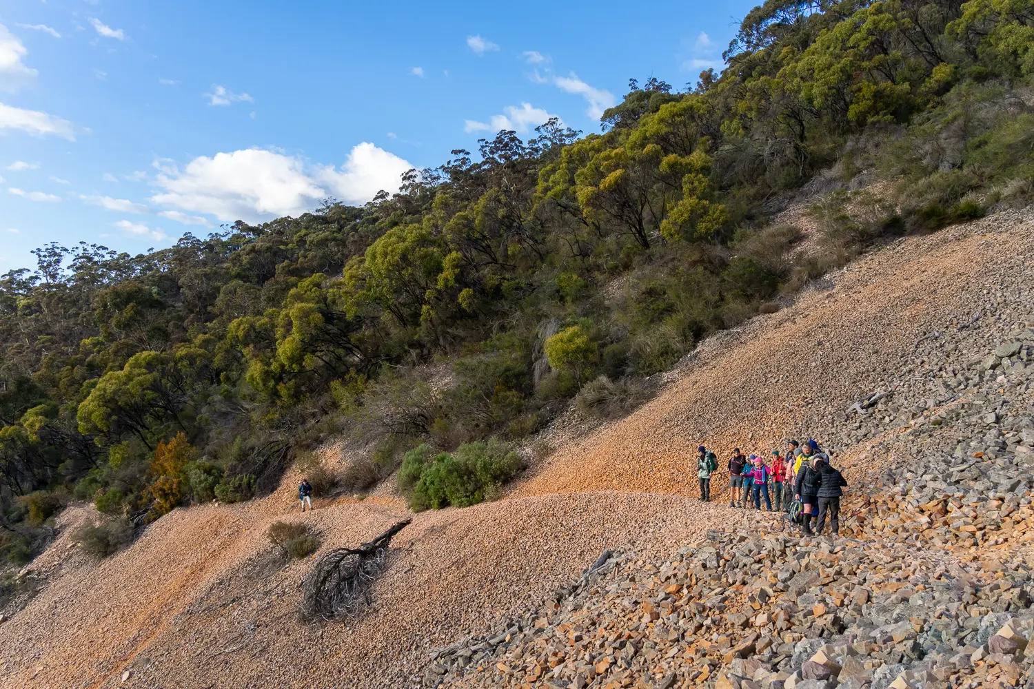
This is a very long and difficult (but memorable) section of the Trail that starts with the ascent of Mt Remarkable, and continues through Mt Remarkable National Park before emerging on Alligator Gorge Road. View Section 42, Murraytown to Melrose View Section 44, Alligator Gorge Rd to Horrocks Pass #Feature not compatible with your browser# Map & GPS Files Map view options View map in full screen format. View full featured Interative Map of the Heysen Trail. Download map data Download GPX file for a GPS unit. Download KML file for Google Earth/Maps. Download full-featured GPX and/or KML files of the Heysen Trail. Mapsheet Mapsheet 6A, Wirrabara Forest to Melrose Guidebook maps (2006-2014) Northern Guidebook, chapter 3 map 1. chapter 3 map 2. chapter 3 map 3. Re-Routes Re-routes in this section Mapsheet 6B: Minor reroute along the Pine Track, Mt Remarkable National Park View all Re-routes along the Heysen Trail. Distance Distance 26km Location of Melrose Grid Reference 366 644 (236600 6364400 zone 54) Coordinates Latitude: -32.8268537917 (32° 49' 36.6737")Longitude: 138.1863032278 (138° 11' 10.6916")View in Google Maps Location of Alligator Gorge Rd Grid Reference 278 761 (227800 6376100 zone 54) Coordinates Latitude: -32.7193000917 (32° 43' 9.4803")Longitude: 138.0958308389 (138° 5' 44.991")View in Google Maps