August 2020, section numbers altered:
- Sections previously numbered 51 to 55 have been renumbered to accomodate what was previously Section 50, from Eyre Depot to Buckaringa, to be split into two smaller more manageable sections: Section 50 Eyre Depot to Warren Gorge, and Section 51 Warren Gorge to Buckaringa. So what was Section 51 is now Section 52, and what was 52 now 53, and what was 53 now 54, and what was 54 now 55.
- Sections previously numbered 55 and 56 have been combined into Section 56, from Mt Little Station to Moralana Scenic Drive.
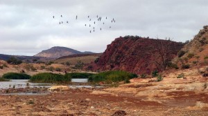
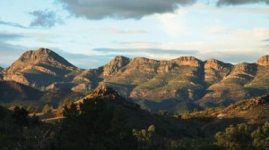
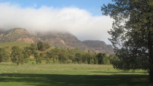
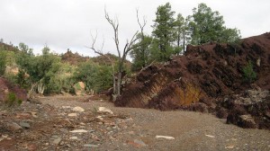
This section of the Trail follows picturesque Mernmerna Creek and Slaty Creek to the Red Range campsite. Continuing on north from the campsite is an easy and pretty walk with gentle undulations, along creeklines and through native pine woodlands, in the shadow of Elder Range and Mt Aleck. However the overall walk is long at 32.4km and cannot be shortened as there are strictly no public access entries or exits as the section is encompassed by Private Property.
Due to land management issues and Private Property restrictions, access to and from Red Range campsite can only be undertaken along the Heysen Trail. This creates a long section for day walkers. The last southern public access point is Mt Little Station/Mayo Gorge, and the next public access point to the north is where the Heysen Trail crosses Moralana Scenic Drive – a distance of 15.4km from Mayo Gorge to Red Range Campsite + 15km from Red Range Campsite to Moralana Scenic Drive (a total of 30.4km).
