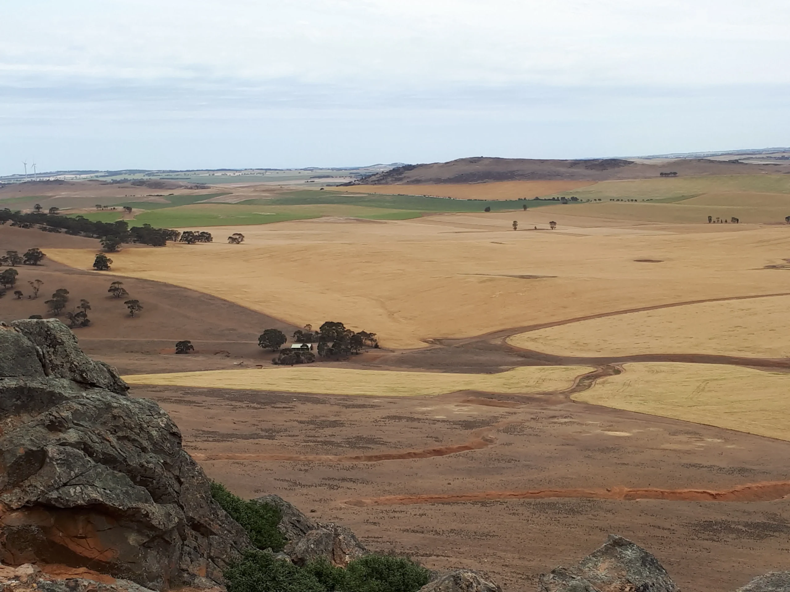
Section 24: Webb Gap to Burra Road Region: Mid North The trail continues along the Tothill Range, providing expansive views over the surrounding farmland and Apoinga Lagoon. View Section 23, Gerkie Gap to Webb Gap View Section 25, Burra Road to Worlds End #Feature not compatible with your browser# Map & GPS Files Map view options View map in full screen format. View full featured Interative Map of the Heysen Trail. Download map data Download GPX file for a GPS unit. Download KML file for Google Earth/Maps. Download full-featured GPX and/or KML files of the Heysen Trail. Mapsheet Mapsheet 3C, Marrabel Golf Club to Tothill Gap; Mapsheet 3D, Tothill Gap to Burra Guidebook maps (2006-2014) Southern Guidebook, chapter 5 map 7. chapter 5 map 8. chapter 5 map 9. Re-Routes Re-routes in this section Mapsheet 3D: Goyder Windfarm – temporary re-route east of Huppatz Hut View all Re-routes along the Heysen Trail. Distance Distance 23km Location of Webb Gap Grid Reference 103 387 (310300 6238700 zone 54) Coordinates Latitude: -33.975142675 (33° 58' 30.5136")Longitude: 138.9465742917 (138° 56' 47.6675")View in Google Maps Location of Burra Road Grid Reference 113 518 (311300 6251800 zone 54) Coordinates Latitude: -33.8572485389 (33° 51' 26.0947")Longitude: 138.9602093444 (138° 57' 36.7536")View in Google Maps