View pdf map.
The Trail has been rerouted through the southern part of Caroona Creek Conservation Park as it follows Newikie Creek.
Download gpx file.
This re-reoute applies to: Section 28: Wandallah to Newikie Creek
The Wild South Coast Way is now OPEN ... with a re-route between Tent Rock Road and Tapanappa via the Deep Creek Cove hike. Read more
The Friends AGM will be held on 22 April 2026. Join us to celebrate 40 years of the Heysen Trail. Read more
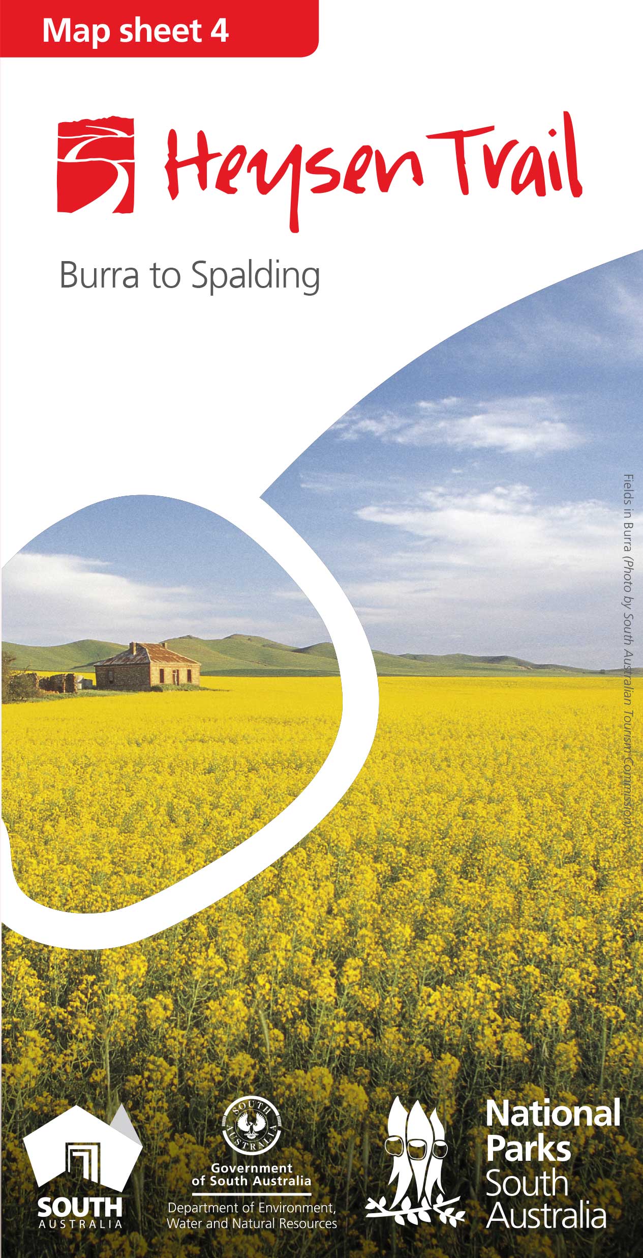 | Mapsheet 4: Burra to Spalding (May 2015)Occasionally, due to weather or maintenance issues, it is necessary to realign sections of the Heysen Trail. Minor reroutes, necessitated by such things as sand blowouts in coastal areas, protection of native vegetation, erosion control, or requests from landholders, are also frequently carried out. |
View pdf map.
The Trail has been rerouted through the southern part of Caroona Creek Conservation Park as it follows Newikie Creek.
Download gpx file.
This re-reoute applies to: Section 28: Wandallah to Newikie Creek
View pdf map.
The Mount Bryan reroute aligns the Trail with the road reserve.
After leaving the Mount Bryan East Road, the Trail follows the northern side of the fence. After reaching a stile it generally tracks north west, zig zagging to the summit.
Download gpx file.
This re-reoute applies to: Section 30: Dares Hill Summit Rd to Hallett
View pdf map.
This reroute diverts some of the Trail away from the main highway. The Trail now follows Olives and Deep Creek Roads.
Download gpx file.
This re-reoute applies to: Section 32: North Booborowie Rd to Oban