Re-route of the Heysen Trail affecting Map 1.1, May 2011

View pdf map showing re-route

The trail has been re-routed through the town of Spalding, leaving the trail at the channel between Railway Dam Road and Borve Hill Road, and rejoining the original trail alignment near Freshwater Creek Weir. Due to SA Water OHS demands there is a minor alteration around Freshwater Creek Weir – the trail no longer passes over the weir wall. The channel has recently been reinstated after many years out of service.

View all re-routes for the 2005 Northern Guidebook, 1st Edition

Re-route of the Heysen Trail affecting Map 1.1, April 2011

The trail markers have now been placed, the trail now follows the route as published in the guidebook.

Due to SA Water OHS demands there is a minor alteration around Freshwater Creek Weir – the trail no longer passes over the weir wall. The channel has recently been reinstated after many years out of service.

From May 2010 until April 2011. With the publication of this edition the trail is shown as being re-routed through the town of Spalding. This re-route has not yet been marked, it is expected to be done prior to the commencement of the 2011 walking season in April, 2011. Until such time, the trail is marked from near the rubbish dump, south of Borve Road, as continuing along the drainage channel to Freshwater Weir.

View all re-routes for the 2010 Northern Guidebook, 2nd Edition

Re-route of the Heysen Trail affecting Map 1.2, October 2012

View pdf map showing re-route

A new camp site has been constructed beside Bundaleer Creek. We anticipate water will be available for the 2013 hiking season.

The camp site features a shelter with water tank and bench, and a square bench/table.

This campsite is midway between the town of Spalding and the Curnows Hut & Campsite – 18.8km from Spalding and 13.5km from Curnows Hut.

More info in the accommodation forum at http://www.heysentrail.asn.au/forums/viewtopic.php?t=698&accom_id=698&name=Bundaleer%20Tank%20Campsite

View all re-routes for the 2005 Northern Guidebook, 1st Edition
Re-route of the Heysen Trail affecting Map 1.2, October 2012

View pdf map showing re-route

A new camp site has been constructed beside Bundaleer Creek. We anticipate water will be available for the 2013 hiking season.

The camp site features a shelter with water tank and bench, and a square bench/table.

This campsite is midway between the town of Spalding and the Curnows Hut & Campsite – 18.8km from Spalding and 13.5km from Curnows Hut.

More info in the accommodation forum at http://www.heysentrail.asn.au/forums/viewtopic.php?t=698&accom_id=698&name=Bundaleer%20Tank%20Campsite

View all re-routes for the 2010 Northern Guidebook, 2nd Edition

Re-route of the Heysen Trail affecting Map 1.4, May 2013

This is a temporary re-route

View pdf map showing re-route

1. Following January 2013 Bundaleer Forest bushfire, Forestry SA advises that the Heysen Trail through the Forest remains closed until further notice due to danger of tree falls, logging and heavy vehicle traffic. Logging is expected to continue for several months. In the meantime, walkers may bypass the danger area by using Browns Track, from Gate BG1 on Neindorf Road (GR 710 159) to the Heysen western exit from the forest (GR 703 138). No other forest access is permitted. This re-route has now been marked with trail arrows (20 June 2013).

2. Walkers are also advised that when walking westward from Bundaleer Forest a new fence has been installed at GR 691 124, SE of the spring. Until a stile is erected, walkers should use the gate about 200m SE of the trail at approx GR 693 123 (towards the forest).

View all re-routes for the 2010 Northern Guidebook, 2nd Edition

Trail Closure through Wirrabara Forest due to Bushfire Damage, February 2014

This is a temporary re-route

View pdf map showing re-route

Temporary 44km re-route around Bangor/Wirrabara Bushfire

A major re-route of the Heysen Trail is in place around Wirrabara Forest, the site of the January/February 2014 Bangor Bushfire.

The temporary 44km re-route replaces a 41km section of the Heysen Trail and affects the Northern Guidebook from Map 2.3 through to Map 2.8.

The re-route trail is marked, and takes the trail along roads through Laura. The re-route continues along the shared-use railtrail, and along backroads to rejoin the original trail alignment south of Murraytown.

Wirrabara Forest remains closed indefinitely to the public due to the risk of falling trees and to allow salvage harvest operations. Forest access is limited to eastern areas.

Beetaloo Tank Camp Site is still accessible. It has suffered some damage but is functional.

Download gpx file for loading onto your GPS unit.

View all re-routes for the 2010 Northern Guidebook, 2nd Edition

Trail Closure through Wirrabara Forest due to Bushfire Damage, February 2014

This is a temporary re-route

View pdf map showing re-route

Temporary 44km re-route around Bangor/Wirrabara Bushfire

JULY 2015 UPDATE: This temporary re-route has been closed, and the Trail has been restored and re-marked to the original Heysen Trail route over The Bluff. However there are two small temporary re-routes.

A major re-route of the Heysen Trail is in place around Wirrabara Forest, the site of the January/February 2014 Bangor Bushfire.

The temporary 44km re-route replaces a 41km section of the Heysen Trail and affects the Northern Guidebook from Map 2.3 through to Map 2.8.

The re-route trail is marked, and takes the trail along roads through Laura. The re-route continues along the shared-use railtrail, and along backroads to rejoin the original trail alignment south of Murraytown.

Wirrabara Forest remains closed indefinitely to the public due to the risk of falling trees and to allow salvage harvest operations. Forest access is limited to eastern areas.

Beetaloo Tank Camp Site is still accessible. It has suffered some damage but is functional.

Download gpx file for loading onto your GPS unit.

View all re-routes for the 2014 Northern Guidebook, 3rd Edition

Re-route of the Heysen Trail affecting Map 2.4, February 2013

View pdf map showing re-route

A new campsite has been constructed at Beetaloo Tank Camp Site, on the dirt track named Mills Road, adjacent to Beetaloo Creek. The campsite includes a small shelter with bench, primarily designed to collect rainwater. The campsite is midway between the Bowmans Hut and the Go-Cart Track campsite – 19.9km from Bowmans Hut and 20.2km from the Go-Cart Track campsite.

View all re-routes for the 2010 Northern Guidebook, 2nd Edition

Re-route of the Heysen Trail affecting Map 2.6, July 2012

View pdf map showing re-route

Following the bushfire in Wirrabara Forest in early May, the following info is an update on the Heysen Trail conditions through the area.

1) The main north-south Heysen Trail along the ridge and the Go-Cart Track is open.

2) The spur trail, along the Apricot Track, is temporarily closed due to fire damage. This spur track heads east down from the main Trail on the ridge. The trail is extensively damaged and will be re-marked by ARPA. Forestry SA will conduct a logging operation to remove burnt pine trees.

3) The spur trail beyond the Old Nursery to Ippinitchie Campground is no longer marked. The Old Nursery is now the trailhead for this spur. Both the YHA and Ippinitchie Campground facilities can be used by hikers, but are no longer on the marked Heysen Trail.

View all re-routes for the 2005 Northern Guidebook, 1st Edition

Re-route of the Heysen Trail affecting Maps 2.6 and 2.5, May 2010

View pdf map showing re-route

The Trail now follows a newly marked route just east of the TV Tower Track and parallel to it for about 1.5km. It then briefly joins the TV Track before following the Go-Cart Track to Frypan Hill where it rejoins the previous Trail. The previous parts of the Trail leading to Wirrabara Forest and campground are now controlled by Forestry SA, who have closed the track down from The Bluff, but the Apricot Track remains open.

View all re-routes for the 2005 Northern Guidebook, 1st Edition

Re-route of the Heysen Trail affecting Map 2.6, July 2012

View pdf map showing re-route

Following the bushfire in Wirrabara Forest in early May 2012, the following info is an update on the Heysen Trail conditions through the area.

1) The main north-south Heysen Trail along the ridge and the Go-Cart Track is open.

2) The spur trail, along the Apricot Track, is temporarily closed due to fire damage. This spur track heads east down from the main Trail on the ridge. The trail is extensively damaged and will be re-marked by ARPA. Forestry SA will conduct a logging operation to remove burnt pine trees.

3) The spur trail beyond the Old Nursery to Ippinitchie Campground is no longer marked. The Old Nursery is now the trailhead for this spur. Both the YHA and Ippinitchie Campground facilities can be used by hikers, but are no longer on the marked trail.

Conditions have changed following January 2014 bushfire, please refer to the reroute notice: Trail Closure through Wirrabara Forest due to Bushfire Damage, February 2014

View all re-routes for the 2010 Northern Guidebook, 2nd Edition

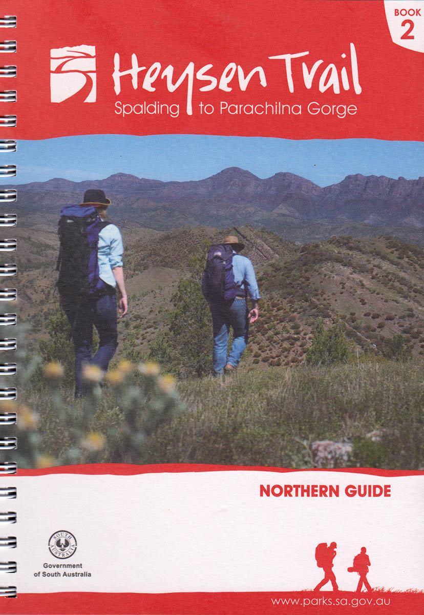
Restoration of Heysen Trail following 2014 Bangor/Wirrabara Bushfire, July 2015, Updated October 2019, Updated April 2021

View pdf map showing re-route

Following the January 2014 Bangor/Wirrabara Bushfire the Heysen Trail has been restored and re-marked to the original Heysen Trail route over The Bluff. This removes the 44km temporary re-route which went around the entire forest and via the town of Wirrabara.

Two small temporary re-routes are in place on Sheepsyard Track (minor), and along Block Nine Road. UPDATE OCTOBER 2019: The Block Nine Road re-route has been restored to the original trail through the forest, via I and J.
Update April 2021: The trail on its approach to Block Nine Road has been rerouted away from the boundary fence on a private property. Follow the route marked by the purple line on the pdf reroute map.

Download gpx file for loading onto your GPS unit.

View all re-routes for the 2014 Northern Guidebook, 3rd Edition

Re-Route at Mt Remarkable Summit, September 2015

View pdf map showing re-route

A new walking trail has been constructed around the western side of the summit to provide views of the north-west of the park and Spencer Gulf. A short walking trail extends from the Heysen Trail to the summit.

A second stage of walking trail will be constructed soon.

As part of these works, the Summit Camp was closed and the hikers’ shelter water tank removed. Melrose and Grays Hut are nearby.

Download gpx file for loading onto your GPS unit.

View all re-routes for the 2014 Northern Guidebook, 3rd Edition

Re-route of the Heysen Trail at Horrock’s Pass affecting Maps 3.4 and 3.5, March 2014

View pdf map showing re-route

This re-route takes the Heysen Trail off of the bitumen roadside and takes in along the vegetation corridor above the bitumen road.

The re-route begins where the dirt road Hancocks Lookout Road meets the bitumen Main North Road (which goes through Horrocks Pass), and ends at the Horrocks Memorial.

Download gpx file for loading onto your GPS unit.

View all re-routes for the 2010 Northern Guidebook, 2nd Edition

Re-route of the Heysen Trail at Horrock’s Pass affecting Maps 3.4 and 3.5, March 2014

View pdf map showing re-route

This re-route takes the Heysen Trail off of the bitumen roadside and takes in along the vegetation corridor above the bitumen road.

The re-route begins where the dirt road Hancocks Lookout Road meets the bitumen Main North Road (which goes through Horrocks Pass), and ends at the Horrocks Memorial.

Download gpx file for loading onto your GPS unit.

View all re-routes for the 2014 Northern Guidebook, 3rd Edition

Re-route of the Heysen Trail affecting Map 6.8, July 2013

View pdf map showing re-route

Parachilna Gorge Hikers campsite

Established in July of 2013 by the Department of Environment, Water and Natural Resources. This new water tank will avoid the problem of walkers having to rely on the water tank at the nearby Parachilna Gorge Trailhead (the tank there is readily accessible by vehicle so water supply is sometimes over-used.)

Approx 500 metres south of the Parachilna Gorge Trailhead. Grid reference 646 523.

View on Interactive Map

View all re-routes for the 2010 Northern Guidebook, 2nd Edition