1. Trail Closure through Wirrabara Forest due to Bushfire Damage, February 2014

This is a temporary re-route

View pdf map showing re-route

Temporary 44km re-route around Bangor/Wirrabara Bushfire

JULY 2015 UPDATE: This temporary re-route has been closed, and the Trail has been restored and re-marked to the original Heysen Trail route over The Bluff. However there are two small temporary re-routes.

A major re-route of the Heysen Trail is in place around Wirrabara Forest, the site of the January/February 2014 Bangor Bushfire.

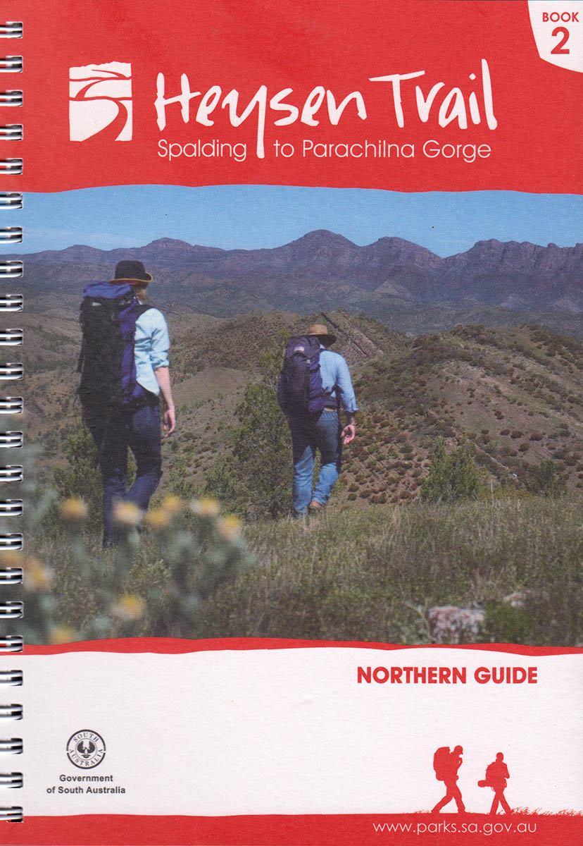
The temporary 44km re-route replaces a 41km section of the Heysen Trail and affects the Northern Guidebook from Map 2.3 through to Map 2.8.

The re-route trail is marked, and takes the trail along roads through Laura. The re-route continues along the shared-use railtrail, and along backroads to rejoin the original trail alignment south of Murraytown.

Wirrabara Forest remains closed indefinitely to the public due to the risk of falling trees and to allow salvage harvest operations. Forest access is limited to eastern areas.

Beetaloo Tank Camp Site is still accessible. It has suffered some damage but is functional.

Download gpx file for loading onto your GPS unit.

2. Restoration of Heysen Trail following 2014 Bangor/Wirrabara Bushfire, July 2015, Updated October 2019, Updated April 2021

View pdf map showing re-route

Following the January 2014 Bangor/Wirrabara Bushfire the Heysen Trail has been restored and re-marked to the original Heysen Trail route over The Bluff. This removes the 44km temporary re-route which went around the entire forest and via the town of Wirrabara.

Two small temporary re-routes are in place on Sheepsyard Track (minor), and along Block Nine Road. UPDATE OCTOBER 2019: The Block Nine Road re-route has been restored to the original trail through the forest, via I and J.
Update April 2021: The trail on its approach to Block Nine Road has been rerouted away from the boundary fence on a private property. Follow the route marked by the purple line on the pdf reroute map.

Download gpx file for loading onto your GPS unit.

3. Re-Route at Mt Remarkable Summit, September 2015

View pdf map showing re-route

A new walking trail has been constructed around the western side of the summit to provide views of the north-west of the park and Spencer Gulf. A short walking trail extends from the Heysen Trail to the summit.

A second stage of walking trail will be constructed soon.

As part of these works, the Summit Camp was closed and the hikers’ shelter water tank removed. Melrose and Grays Hut are nearby.

Download gpx file for loading onto your GPS unit.

4. Re-route of the Heysen Trail at Horrock’s Pass affecting Maps 3.4 and 3.5, March 2014

View pdf map showing re-route

This re-route takes the Heysen Trail off of the bitumen roadside and takes in along the vegetation corridor above the bitumen road.

The re-route begins where the dirt road Hancocks Lookout Road meets the bitumen Main North Road (which goes through Horrocks Pass), and ends at the Horrocks Memorial.

Download gpx file for loading onto your GPS unit.