This Sunday 8th November – Morialta Centenary Picnic. 2 x Walks. Bid on Historic Images Auction

Morialta Centenary Picnic Sunday 8th November. 2 x Walks. Bid on Historic Images AuctionJoin in the community events to celebrate the 100th anniversary of Morialta Conservation Park.

Free walks for the public to check out the Morialta Conservation Park.

  • 8:00am – 10:45am Friends of Heysen Trail guided walk into the higher areas of the park and back.
  • 9:00am – 10:45am Friends of Heysen Trail guided walk up around the top of First Falls, Second Falls and back.
  • Both walks are due back for the official program starting at 11am. 20 person limit to each walk.

11:00am Welcome to Country by Kaurna Elder Lewis O’Brien.

View all the day’s activities, including free face painting, slacklining, Bugs N Slugs, Violets, Ranger Talk.

Supported by us, the Friends of the Heysen Trail, Friends of Black Hill & Morialta and Natural Resources Adelaide and Mount Lofty.

Lavender Federation Trail meets the Heysen Trail, extending to Clare

Lavender Federation Trail meets the Heysen Trail, extending to Clare

The Lavender Federation Trail has been successful in gaining grant funding to extend the trail from its current trailhead at Eudunda onwards to Clare.

The 106km extension will be constructed over the next 18 months and will bring the trail to a total 320km length. The extension also includes an 8km Point Pass Loop Trail and a 7km Robertstown Spur Trail.

The trail extension will intersect the Heysen Trail at Webb Gab. A special event is in the planning for April 2016 to celebrate the crossing of the two long-distance trails. The event will be run between us, the Friends of the Heysen Trail, and SARTI (South Australian Recreation Trails Incorporated, the makers of the Lavender Federation Trail). The Lavender Federation Trail will also intersect with the Riesling Trail and Rattler Trails.
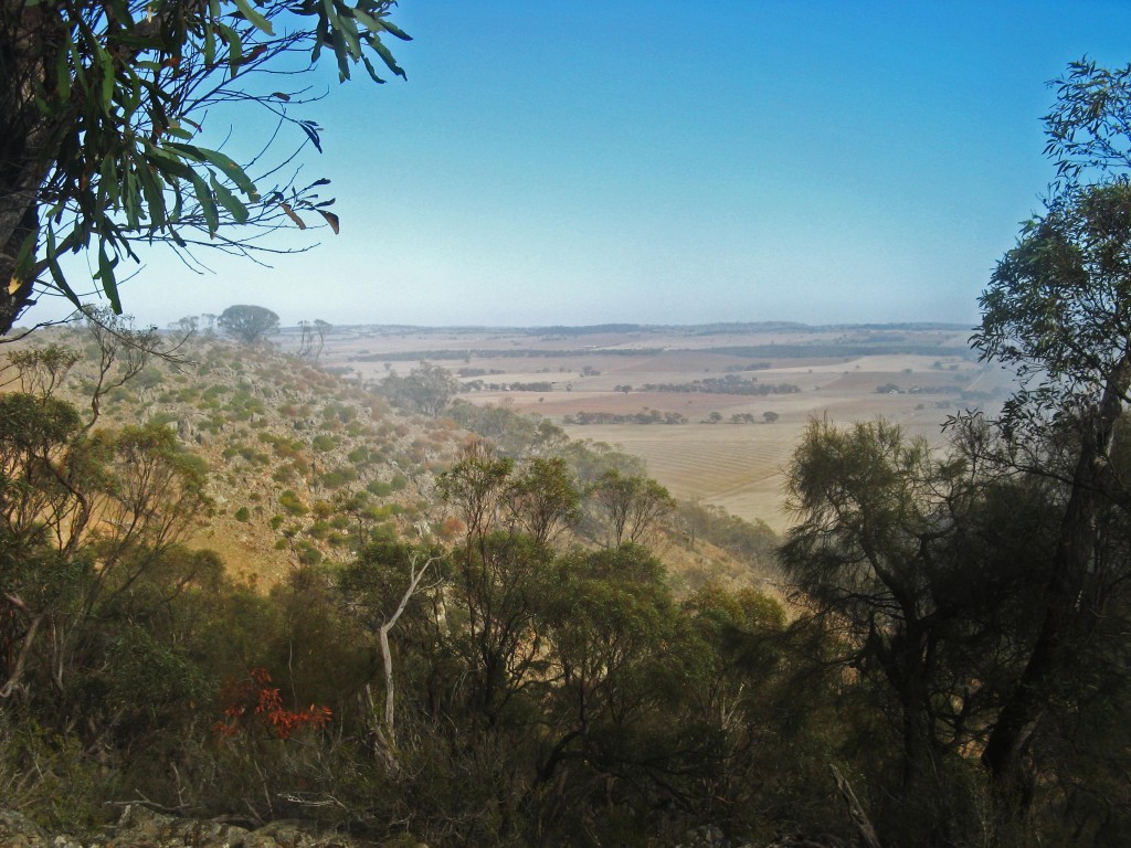
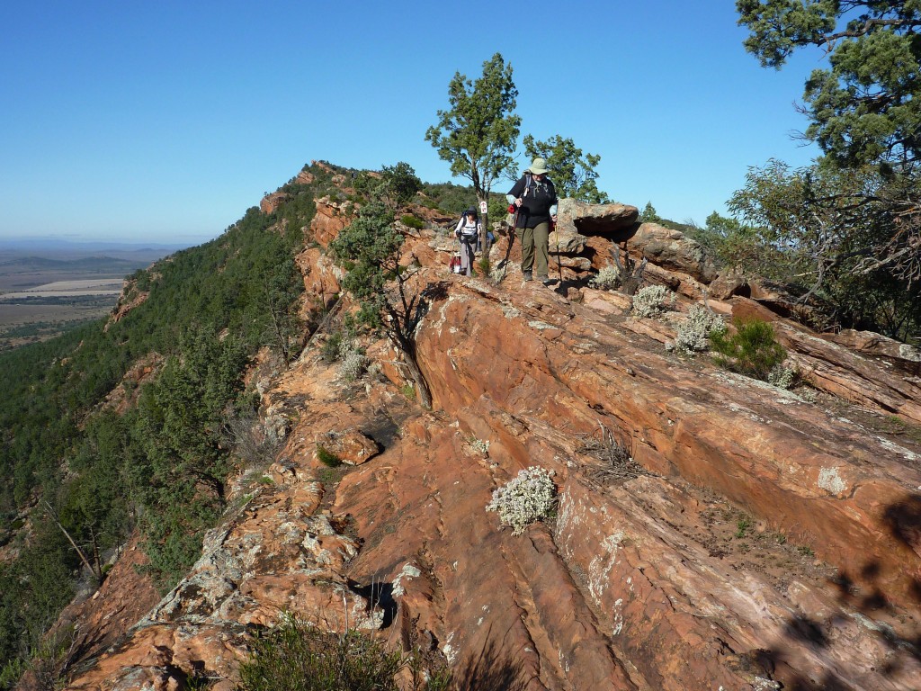
Survey on the Best Walks of SA

Survey on the Best Walks of South Australia

The Bushwalk Australia eMagazine October’s edition will focus on South Australia. They are seeking input on the best walks in South Australia.

Submit your favourite Heysen Trail walks! Browse through our Walk Selector for some inspiration.

Submit the survey below and enter your 6 favourite walks:

  • 3 x favourite day walks
  • 3 x favourite multi-day walks

For each walk:

  • name the walk/trail
  • short description of why you think it is good
  • a link to webpage somewhere with more info

If you are a day-walker only, or overnight-walker only, you could skip entering info on the other category.

Free Seminar: Why Take a Hike on a Long Distance Trail? Integrating Tourism and Recreation Through Research

Free Seminar, Why Take a Hike on a Long Distance Trail 2 Free Seminar, Why Take a Hike on a Long Distance Trail 2

Professor Taylor Stein, University of FloridaProfessor Taylor Stein
University of Florida

Free seminar
Friday 21st August 2015
2:30pm – 3:30pm
At University of South Australia, Mawson Lakes Campus, P2-06

Find out about the United State’s National Scenic Trail System and the challenges of managing these trails for tourists while providing opportunities for locals. Taylor will talk specifically about the Florida National Scenic Trail, which is a similar concept to our Heysen Trail. The talk will focus on market segmentation – who’s hiking and what they want.

Professor Taylor Stein is visiting UniSA as part of his sabbatical from the University of Florida. His trip has been funded in part by UniSA’s Visiting Distinguished Researcher Grant.

University of South Australia, School of Natural and Built Environments

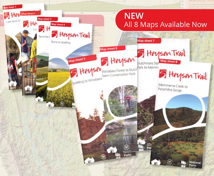
All 8 new sheet maps for Heysen Trail now for sale

Purchase any of the new 8 new sheet maps for Heysen Trail

The full series of Heysen Trail map sheets have been released and are available for purchase.

These new fold-out map sheets replace the Southern and Northern Guidebooks.

Each map is available for purchase now via our online store, for $15 with postage from $2.15.

The maps are double sided and printed on water resistant paper. The maps include elevation profiles with kilometre markers and crossing point names. The new map style allows walkers to gain a “big picture” understanding of where they are on the trail, with a continuous trail line and a constant 3-5km of mapping around the trail.

Remember, you can sign up to receive re-route notifications for your guidebook or map sheet editions. All guidebooks and map sheets published since 2014 are available for notification.

There are 8 maps in this series:

Heysen Trail returns to Wirrabara Forest & Sampson Flat Fireground

Heysen Trail returns to Wirrabara ForestWirrabara Forest Trail Open

Following on from our earlier update, we’ve been negotiating with stakeholders and can now announce that the Heysen Trail has been restored and re-marked to the original route through Wirrabara Forest. This removes the 44km temporary re-route which went around the entire forest and via the town of Wirrabara.

There are two small re-routes in the northern section of the forest.

Sampson Flat Fireground Re-Opening and Re-Routes

Following the January 2015 Sampson Flat Bushfire the Heysen Trail has been re-marked through the fireground, from Nugget Road to near Kersbrook.

A temporary re-route is in place from Chain of Ponds to Kersbook.

View re-routes:

5 Ordinary People finish 1,200km hike of Heysen Trail 2pm Saturday 20th June 2015

5 Ordinary People hiking the Heysen Trail

5 Ordinary People finish of their extraordinary 1,200km through hike of The Heysen Trail at Cape Jervis this at 2pm Saturday 20th June 2015. They will be welcomed by a large band of supporters at the Heysen Trail Trailhead in Cape Jervis. Heysen Trail End-to-End certificates and badges will be presented by the President of the Heysen Trail, Robert Alcock.

About the family’s 65-day trek

A family of five, including Eli, 12, Emily, 10, and Noah, 9, skipped term 2 of school in favour of hiking the Heysen Trail.

There’s so much more to life than just maths and English that kids miss out on, if parents don’t invest time in them.

Along with their parents Luke and Erina, they will be a world away from the classroom routine when they undertake a mission to cover 1,151km on foot over 56 days. Their trek began at the northern trailhead at Parachilna Gorge, trekking south through the Flinders Ranges and Adelaide Hills to Cape Jervis.

It’s all part of Erina’s plan to give her children an educational experience of a different kind.

“We want to teach our children the life lessons that, when you’re caught up in the nine to five regime, you just don’t have the time to do,” she says. “There’s so much more to life than just maths and English that kids miss out on, if parents don’t invest time in them.”

Read more


Walking With Warren Bonython 2015 Brock Lecture, 18th June 2015

Royal Geographical Society of SA5:30pm Thursday 18th June 2015, hosted by Royal Geographical Society
Goodman Lecture Theatre, Hackney Road.

The death of Warren Bonython in 2012 at the age of 95 marked the passing of a person who had made an unparalleled contribution to our understanding and knowledge of the natural environment of South Australia.

He was a member and contributor to many organisations including time as President of the Royal Geographical Society and Patron of the Friends of the Heysen Trail, but it was his outstanding personal achievements, his remarkable treks, his leWalking on Eyre, by Terry Kriegadership and vision, and his books, that constitute such a powerful legacy for our state.
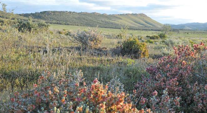
The 1950 filling of Lake Eyre saw Warren a key member of the Lake Eyre Committee set up by Archibald Grenfell Price. His fascination with the Lake Eyre Basin continued over the years with numerous scientific field trips and treks in both wet and dry seasons.

The guest is Terry Krieg, who completed an epic 500 kilometre hike with Warren around Lake Eyre in 1982, and authored the book Walking on Eyre and Walking with Warren.

Buckaringa Sanctuary Feral Control Closure, 19-22 June 2015

Buckaringa Sanctuary, managed by the Australian Wildlife Conservancy

The Australian Wildlife Conservancy will be undertaking feral animal control in Buckaringa Sanctuary during coming months.

The cull program is somewhat opportunistic depending on numbers of goats present and availability of shooters so we cannot provide a set of dates when access to the sanctuary may be closed. The next planned closure is evening of 19th June through to the morning of 22nd June 2015.

The Heysen Trail passes through the sancuary between Quorn and Hawker, on map 6, chapter 4, of the Northern Guidebook.

Signs will be placed at points where the Heysen Trail enters the Sanctuary during all times of closure.

We remind hikers to obey these signs, and also to not camp within the sanctuary (a campsite that was located there was closed in 2006).

The sanctuary is home to many Yellow-footed Rock-wallabies.

Heavy Rains Filling Water Tanks

Photo courtesy of @creber295, 17/04/2015, titled '5 hour wait for 120mm of rain to settle so we could get through.' https://instagram.com/p/1kjFboo4Hm/

Photo courtesy of @creber295, 17/04/2015, titled ‘5 hour wait for 120mm of rain to settle so we could get through.’ https://instagram.com/p/1kjFboo4Hm/

Heavy rains on Friday in the Flinders and to an extent in the Mid North will be welcomed by this season’s hikers on the Heysen Trail.

During audits conducted from January to early April we were aware that some tanks were low, and with the hiking season starting soon (with the end of the Bushfire Danger Season) we were about to remind hikers to be vigilant with water planning.

The advice though should always be followed: when planning multi-day walks and camping, ensure that upon entering a campsite you still have sufficient water to make it to a known water supply, should the water tank be found to be unexpectedly too low.

We anticipate that Friday’s rains have had a positive effect on tank levels. Reports late night suggest that Yanyanna Hut, which we knew to be almost empty, has been filled to half full. We knew of a number of other tanks that had fallen to 1/4 level, and we hope they too have been filled.

The rains will be welcomed by farmers, and we hope will bring new life to the landscape.

The Bureau of Meteorology’s 8th April 2015 assessment lists much of the area of the southern 2/3 of the trail as facing a Serious or Severe Deficiency in rainfall. Heavy rains that fell over Easter only resulted in 1-5mm of rain (low) in the northern Mt Lofty Ranges and Flinders Ranges.