View all news articles below, or select a news category to the right.
Autumn 2021
Issue 159
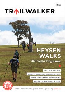 Highlights include:
- South Coast Walk 2020
- Reality of solo hiking a ,long distance trail
- Hiltaba Reserve: Warren Bonython Walk
- Walk the Yorke in the year of COVID
Heysen Trail Closure – Southern Flinders Ranges Parks (February 2021)

Walkers are advised that access to the Heysen Trail in the Southern Flinders Ranges will be restricted from 6 am Saturday, 20th February 2021 until 2pm Friday, 26th February 2021.
Telowie Gorge Conservation Park, The Napperby Block of Mount Remarkable National Park, Spaniards Gully Conservation Park and Wirrabara Range Conservation Park will be closed for the purpose of undertaking a pest control program.
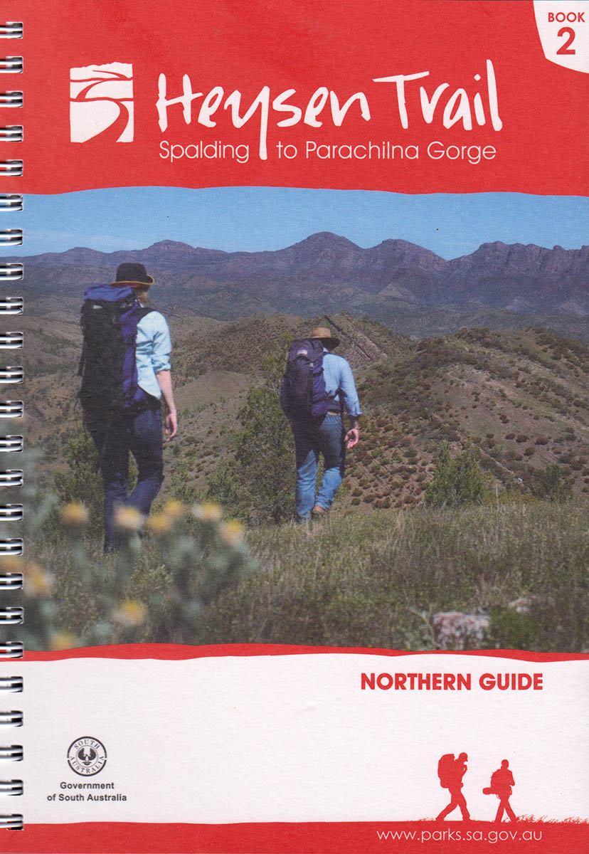
The parks cover a long section of the trail on Heysen Trail Map sheets 5B and 6A and Maps 2.5 to 2.7 of the Heysen Trail Northern Guidebook.
Many sections of the Heysen Trail are closed over the Fire Danger Season. The Country Fire Service has already announced the commencement of the Fire Danger Season for the the complete length of the Heysen Trail.
However walkers can still use some sections of the trail, including sections that are not on private land including Conservation Parks and Reserves, Forests, public roads and vacant land – provided it is not a day of a declared total fire ban..
But the feral animal control program means walkers need to take note of this closure and avoid that section of the trail over the period from the 20th to 26th February.
For more information about the control program or park closure, please contact the Natural Resources Centre on (08) 8841 3400.
You can also check this and other park closures on the Parks SA Alerts page.
Mapsheet 6A and 6B: Minor Re-Route through Melrose, September 2019
View pdf map showing re-route
A 700 metre section of the Heysen Trail has been re-routed as it enters Melrose from the south.
This re-reoute applies to: Section 42: Murraytown to Melrose
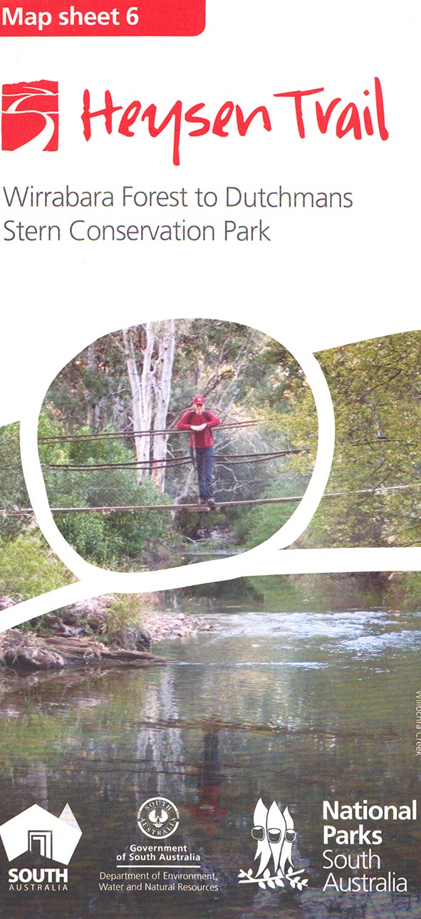
View all re-routes for the Mapsheet 6, Wirrabara Forest to Dutchmans Stern Conservation Park (August 2015)
Re-Route near Wilpena Information Centre, September 2020
View pdf map showing re-route
The trail has been adjusted when passing the Wilpena Information Centre. The new 800m route avoids the 1.5km route around the resort and caravan park.
Download gpx file for loading onto your GPS unit.
View all re-routes for the 2014 Northern Guidebook, 3rd Edition
Mapsheet 8B: Re-Route near Wilpena Information Centre, September 2020
View pdf map showing re-route
The trail has been adjusted when passing the Wilpena Information Centre. The new 800m route avoids the 1.5km route around the resort and caravan park.
Download gpx file for loading onto your GPS unit.
This re-reoute applies to these 2 sections:
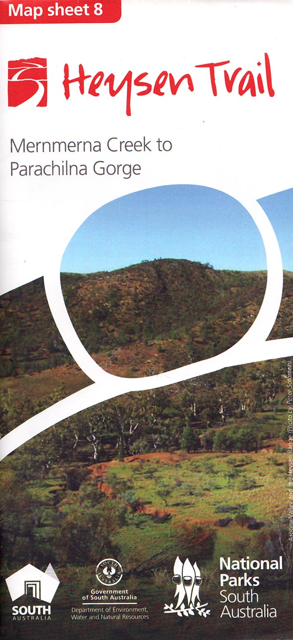
View all re-routes for the Mapsheet 8, Mernmerna Creek to Parachilna Gorge (August 2015)
High Water Crossing Alternate Route entering Morialta Conservation Park, February 2021
View pdf map showing re-route
When entering Morialta Conservation Park from Norton Summit:
- when the creek water level us low, there is a 140m long low water crossing, and
- when the creek water levels are high there is a 1.6km long high water crossing alternate route along Colonial Drive and Colonial Track
Download gpx file for loading onto your GPS unit.
View all re-routes for the 2014 Southern Guidebook, 6th Edition
Mapsheet 2B: High Water Crossing Alternate Route entering Morialta Conservation Park, February 2021
View pdf map showing re-route
When entering Morialta Conservation Park from Norton Summit:
- when the creek water level us low, there is a 140m long low water crossing, and
- when the creek water levels are high there is a 1.6km long high water crossing alternate route along Colonial Drive and Colonial Track
Download gpx file for loading onto your GPS unit.
This re-reoute applies to: Section 14: Montacute Heights to Cudlee Creek
View all re-routes for the Mapsheet 2: Kuitpo Forest to Tanunda (Sept 2014)
Re-route up The Sugarloaf, north of Inman Valley, November 2020
View pdf map showing re-route
A 600m re-route up The Sugarloaf, north of Inman Valley. An improved realignment was marked in November 2020
Download gpx file for loading onto your GPS unit.
View all re-routes for the 2014 Southern Guidebook, 6th Edition
Mapsheet 1C: Re-route up The Sugarloaf, north of Inman Valley, November 2020
View pdf map showing re-route
A 600m re-route up The Sugarloaf, north of Inman Valley. An improved realignment was marked in November 2020
Download gpx file for loading onto your GPS unit.
This re-reoute applies to: Section 7: Inman Valley to Myponga
View all re-routes for the Mapsheet 1: Cape Jervis to Kuitpo Forest (Sept 2014)
Summer 2020/21
Issue 158
November 2020
 Highlights include:
- Celebrating 35 years of the Friends
- 2020/21 Walk Programmes
- Trail Development Update
- Future Trail Projects in Parks & Forests
- Our latest Honorary Members
Trail care – the Heysen Trail needs our attention
We need to care for and protect the trail
As the COVID-19 restrictions were relaxed within South Australia, people were encouraged to travel within our State.
Many have tried bushwalking and camping for the first time, some doing it better than others.
Increased demand for Parks SA campsites
On many weekends, the Parks SA campsites have been fully booked resulting in some people apparently camping wherever they can find a spot.
Sometimes this has occurred on private land and at other times, Google has directed vehicle-based campers towards the Heysen Trail campsites, that are intended as “walk in” sites. The Friends have taken some steps to make our sites less visible to Google and the Department of Environment and Water (DEW) is addressing the issue from an official standing.
While it is preaching to the converted, we all need to remember to follow good bushwalking and camping etiquette:
Leave no trace
- Leave campsites better than you found them.
- Use existing fireplaces or carry cooking equipment when possible, and do not scar the landscape with fire rings.
- Comply with fuel-stove only requirements.
- Do not pollute the ground and waterways with soaps and detergents.
- Remove our rubbish from the bush and bury human waste away from watercourses.
- Do not remove plants or rocks from National Parks.
- Do not disturb native wildlife.
- Avoid easily damaged places such as peat bogs, cushion moss, swamps and fragile rock formations.
- Use existing tracks where possible and avoid creating multiple tracks which lead to erosion.
Report damage to trail campsites, markers and other assets
- If you find campsites, tanks, stiles and trail markers need attention please let us know.
- DEW & the Friends Trail Maintenance volunteers rely on trail users for your help.
- You can report problems to the Friends using our website contact form .
Safety
- Have appropriate first aid skills and carry first aid kits.
- Comply with the trail closure periods over the Fire Danger Season.
- Do not enter closed Parks or any section of the trail that is shown as closed.
- Only light fires when it is permitted and ensure they are fully extinguished.
- Carry sufficient food and water in order to survive unexpected delays.
- Wear or carry appropriate clothing and equipment for our comfort and safety in the worst possible conditions we are likely to encounter.
Respect all bushwalkers
- Respect the right of bushwalkers to enjoy the peace and quiet of the bush.
- Help fellow bushwalkers in need.
Respect indigenous culture
- Acknowledge the traditional owners of the land on which we walk.
- Treat sites of spiritual or cultural significance with respect.
- Obtain permission from traditional landowners or the relevant land manager to visit sensitive areas.
- Do not damage aboriginal rock art or camp under overhangs that contain aboriginal rock art.
Respect landowners
- Respect landowners and do not trespass on their land.
- Leave farm gates as we find them.
- Respect the rules of National Parks, and other land managers, regarding camping conditions, maximum numbers in wilderness areas, pets, permitted activities and park closures.
As much of the Heysen Trail traverses private land, it is essential that hikers do all we can to help to protect that privilege.
While leaving farm gates as found may not seem to be critical to the non-farming community, it is an important part of farm management. If it’s closed, leave it closed to prevent grazing animals moving through paddocks or if it’s open, it may be to allow stock to move into another paddock.
It is worth remembering that in one way or another, someone is responsible for managing the land that we walk over. We are their guests.
Heysen Trail Closure – Southern Flinders Ranges
Walkers are advised that access to the Heysen Trail in the Southern Flinders Ranges will be restricted from 6 am Saturday, 21 November 2020 until 2pm Friday, 27 November 2020.
Telowie Gorge Conservation Park, The Napperby Block of Mount Remarkable National Park, Spaniards Gully Conservation Park and Wirrabara Range Conservation Park will be closed for the purpose of undertaking a pest control program.
The parks cover a long section of the trail on Heysen Trail Map sheets 5B and 6A and Maps 2.5 to 2.7 of the Heysen Trail Northern Guidebook.
The Heysen Trail is closed over the Fire Danger Season. The Country Fire Service has already announced the commencement of the Fire Danger Season for the Mid North & Flinders Districts. As a result, the Heysen Trail is now closed in those areas.
However walkers can still use some sections of the trail, including sections that are not on private land including Conservation Parks and Reserves, Forests, public roads and vacant land.
But the feral animal control program means walkers need to take note of this closure and avoid that section of the trail over the period from the 21st to 27th November.
For more information about the control program or park closure, please contact the Natural Resources Centre on (08) 8841 3400.
You can also check this and other park closures on the Parks SA Alerts page.
Walkers warned of night closure of trails in the Ikara-Flinders Ranges National Park for the next 12 months through to October 31st 2021.

Feral animal control continues in the Ikara-Flinders Ranges National Park.
The Department for Environment & Water has advised that the existing feral animal control program being undertaken in the Ikara-Flinders Ranges National Park will continue over the next year.
Multiple walking trails within Ikara-Flinders Ranges National Park will be closed every night until Sunday 31 October 2021. Walkers are advised to exercise caution in the area as the trails will be closed for the purpose of a pest control program. The program is being conducted after dark in the vicinity of the following tracks.
- Trezona Track
- Mount Sunderland Track
- Rifle Range Track
- Old Blinman Track
- Jones Camp Track
- Telegraph Track
- *St Mary Peak (outside trail)
- *Cooinda Track
- Pound Gap Track
Evening/night time closures will occur through to Sunday 31st October 2021.
As daylight hours vary over the period of the night time control program, there are a range of closure times. They are:
- Saturday 1 November 2020 and Sunday 31 January 2021
9pm to 5am - Sunday 31 January 2021 and Sunday 28 February 2021
8:30pm to 5am - Sunday 28 February 2021 and Friday 30 April 2021
8pm to 5am - Friday 30 April 2021 and Saturday 31 July 2021
6pm to 5am - Saturday 31 July 2021 and Thursday 30 September 2021
6:30pm to 5am - Thursday 30 September 2021 and Sunday 31 October 2021
8:30pm to 5am
The tracks and walking trails will remain open outside of these times.
*Additional summer closures apply to some trails within Wilpena Pound from 6pm Monday 30 November 2020 until 6am Monday 1 March 2021.
The purpose of the extended closures is to ensure the safety of the public during a feral cat control program to be conducted after dark. The aim is to protect the populations of recently reintroduced Western Quolls and Brushtail Possums.
During the period of the evening/night closures, the Heysen Trail will remain open.
During the Fire Danger Season, walkers should be aware that most sections of the Heysen Trail are closed.
However, walkers still have access to the section of the trail passes through the Ikara-Flinders Ranges National Park (and other public areas), unless a total fire ban has been announced for the day.
However walkers must:
- remain in designated campgrounds and huts, or
- camp within 20 metres of the Heysen Trail within the park after dark.
If you are camping in the park, you may see spotlights and occasionally hear firearms in the distance at night. The Rangers have advised that the control program will not take place in the vicinity of campgrounds or huts.
Access to the Heysen Trail during the Fire Danger Season
For more information on walker access to the Heysen Trail over the fire danger season, including sections that remain open, check this page.
Further information
You can get further information on the feral animal control program and these trail closures on the Parks Alerts page or from
The National Parks & Wildlife Service – Port Augusta.
Phone: (+61 8) 8648 5300
Our 2020-21 Twilight/Summer walks commence in November.

As the walking season has come to a close, the arrival of warmer evenings and daylight saving has heralded the beginning of our Twilight/Summer Walks. There is a 1.5-2 hour evening walk most weeks until March. Some longer walks may be held during the day.
The full programme will soon be listed on our walk calendar but here are the details for the first four walks:
Wed 4th November 6.15pm: Wirraparinga Trail Loop Plus A Bit
A gentle walk along the 5km Wirraparinga Trail in Brownhill Recreation Park, plus a bit of an add on. Optional dinner or a refreshment at nearby Edinburgh Hotel.
Wednesday 11th November 6pm: Randell Park, Mitcham
A somewhat uphill walk through Randell Park with views over the city as the reward.
Thursday 19th November 6pm: Torrens Linear Park (Lockleys)
This walk winds along the River Torrens linear path. An easy 6 km walk, with no hills. Dinner afterwards at the Lockleys Hotel.
Friday 27th November 6pm: Stirling Dinner walk
A 9-10 km loop starts with an uphill section into Stirling. Then downhill to enjoy our dinner and fellowship at the Stirling Golf Club.
Walk fees
Pay with either option:
- a Golden Boots pass, which are accepted for Twilight walks
- Twilight walk casual fees are $5.00 ($1.00 for walkers under 18 years of age)
Register online or via the office
If you don’t have a Golden Boots pass, you can purchase one when you register for the walk. Just click on the Golden Boots pass payment option.
Further details of our walks and walker registration can be found on our website at heysentrail.asn.au/walks
WALKING SA Walk Event – Adelaide 100 Trail Launch, 7km Showcase walk
![]()
Walking SA Adelaide100 Trail Launch,
7km showcase walk
10:00am Sunday 11 October 2020
Join Walking SA to celebrate the launch of the first section of the Adelaide100® trail.
The Adelaide100® is a loop walking trail of over 100km that takes in the coast, waterways and hills of the capital city of South Australia.
The 7km showcase walk starts from Pinky Flat, following the linear trail along the beautiful River Torrens / Karrawirra Parri. Walking upstream past Adelaide Oval before crossing the river at Hackney Bridge and returning past the zoo and Elder Park. Passing the Festival Centre and Convention Centre, the walk continues under Montefiore Road, crossing the river over the weir before returning to Pinky Flat.
Registration is free. Participant numbers are limited due to COVID-19 event planning guidelines.
Post a photo on social media with #adelaide100 for a chance to win a $200 Scout Outdoor Centre voucher.
Key Facts
Rating: easy
Tickets: Registration is free. Participant numbers are limited due to COVID-19 event planning guidelines. Please register to assist us in managing our COVID-Safe event plan.
Duration: 2-3 hours
Hike Length: 7km
Registration and start location details can be found via the following link to Walking SA website.
 More people walking more often
Spring 2020
Issue 157
August 2020
 Highlights include:
- A pandemic pivot - through hiking the Heysen
- Beyond the Heysen with Camel Treks
- Walking on Eyre
- Exploring the Yurrebilla
Reroutes in Mt Crawford forest, August 2020
View pdf map showing re-route
The Heysen Trail has been re-routed in Mt Crawford forest in three places:
- The main trail (which is the route along the southern then eastern side) has been re-routed off of Chalks Road
- The alternative trail (which is the route along the north-western side) has been re-routed via Warren Reservoir to Centennial Drive
- When the South Para River water level is high, avoid the main trail crossing (marked #3, upstream to the east) and walk 900m downstream to cross the river on the Mount Rd bridge (marked #4, downstream to the west)
Download gpx file for loading onto your GPS unit.
View all re-routes for the 2014 Southern Guidebook, 6th Edition
Mapsheet 2D: Reroutes in Mt Crawford forest, August 2020
View pdf map showing re-route
The Heysen Trail has been re-routed in Mt Crawford forest in three places:
- The main trail (which is the route along the southern then eastern side) has been re-routed off of Chalks Road
- The alternative trail (which is the route along the north-western side) has been re-routed via Warren Reservoir to Centennial Drive
- When the South Para River water level is high, avoid the main trail crossing (marked #3, upstream to the east) and walk 900m downstream to cross the river on the Mount Rd bridge (marked #4, downstream to the west)
Download gpx file for loading onto your GPS unit.
This re-reoute applies to: Section 16: The Nugget Rd to Mt Crawford
View all re-routes for the Mapsheet 2: Kuitpo Forest to Tanunda (Sept 2014)
Heysen Trail closure through the Buckaringa Sanctuary, Friday 10th July to Tuesday 14th July 2020.
The Buckaringa Sanctuary will be temporarily closed in the coming week. As the Heysen Trail passes through the sanctuary, we advise walkers to consider the closure if planning to walk in the area.
The planned closure is:
- Friday evening 10th July to Tuesday morning 14th July 2020.
The closure is because the Australian Wildlife Conservancy (AWC) will be undertaking feral animal control in the sanctuary. The sanctuary is home to many Yellow-footed Rock-wallabies.
The sanctuary is located between Quorn and Hawker. You can find it on map 6, chapter 4, of the Heysen Trail Northern Guidebook and on Sheet Map 7b – Dutchmans Stern Conservation Park to Mernmerna Creek.
AWC will place closure signs at all entry points to the sanctuary to warn walkers of the danger.
Winter 2020
Issue 156
May 2020
 Highlights include:
- Covid-19 update
- Friends respond to the pandemic
- Friends 2019 in review
- Mental & physical health effects of walking
- What hiking taught me about isolation
- Terry Lavender Churchill Fellowship