View all news articles below, or select a news category to the right.
December 2023
Issue 167
 Highlights include:
- End-To-End Year In Summary
- Friends Summer Walk Programme 2023/24
- Heysen Trail ReRoutes: From Idea To Inception Is A Long Road
Mapsheet 2D: Reroute at Dewells Block, Mt Crawford Forest, October 2023
This temporary re-route has been restored to the original trail alignment
View pdf map showing re-route
Forestry SA has advised that commencing in early October 2023, logging operations will be undertaken in Dewells block of the Mt Crawford Forest.
The reroute is depicted by the bold red line in the attached map pdf.
For walkers heading northbound, the reroute heads north along Warren Road, following the fence line until it crosses Cricks Mill Road and enters Mount Road. It follows Mount Road, past the access to Fromms Farm, and turns east at Grid Reference 131 564. It then ascends up Little Mount Crawford, where it rejoins the Trail.
Due to the short notice given to us, we do not have a gpx file of the reroute.
Forestry have installed ‘No Access Logging Operations’ signs at the beginning and end of the reroute and reroute markers along the new route.
The logging operations are expected to take 6-8 weeks.
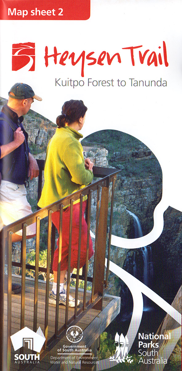
View all re-routes for the Mapsheet 2: Kuitpo Forest to Tanunda (Sept 2014)
Respectful conversation in Australia – a First Nation’s Voice to Parliament
A contribution from the Friends of the Heysen Trail Reconciliation Committee.
We encourage all members to be informed on the Voice from all perspectives and to respect all individuals and their positions in relation to the Voice.
Uncle Lewis O’Brien, a significant Kaurna Elder teaches that when non-Aboriginal people look at a proposition or a problem they tend to divide into camps with a Yes or No response.
The Kaurna people were the teachers and knowledge keepers. They looked at the brain and called it muka muka because it appeared in two halves.
What that means for decision making in the Aboriginal community is that we should think both ways. In other words, look at a problem from all sides before resolving which direction to take.
The Referendum on October 14th 2023
Australians are being asked if they support Aboriginal recognition and an Aboriginal Voice to Parliament at the Referendum on the Australian Constitution that will be held on October 14th 2023.
A Referendum is the people’s choice. We should hold respectful conversations as it is beholden upon us to be informed. We need to look at this question in principle from all angles.
All perspectives are relevant; all questions are legitimate; all positions are respected.
The 1967 Referendum with a 91% Yes vote resolved to count Aboriginal people in the census for the first time. It was a campaign that supported Aboriginal rights.
Yet, up to that time, Aboriginal people had been named in the Australian Constitution solely by exception. The powers that enabled the Australian Government to make laws on the basis of race previously read, “……….except for Aboriginal people……” as it was the States that made laws for Aboriginal people. Those words were removed and since then the Constitution has remained totally silent upon Aboriginal people; not a single mention.
A bi-partisan approach to recognition in the Constitution
In 2015, Tony Abbott, as the Liberal Prime Minister, met with 40 Aboriginal leaders at Kirribili House and Bill Shorten, the Opposition leader, joined him. It was resolved in a bi-partisan way to establish a Referendum Council that would consult with Aboriginal people as to their views on recognition.
The Referendum Council held twelve Regional dialogues right across the country. From these, delegates were appointed to go to Uluru. Six years ago the Uluru Statement from the Heart was developed as a result of the meeting at Uluru.
The Uluru Statement from the Heart
243 people at Uluru agreed by consensus that not only did they want Constitutional Recognition, they wanted something more substantive by having a Voice to Parliament.
Click on this link to read the Uluru Statement from the Heart.
This remarkable statement, which is full of grace and meaning, is clear and invites us to join the people’s movement across the country to unite for change.
“In 1967 we were counted, in 2017 we seek to be heard. We leave base camp and start our trek across this vast country. We invite you to walk with us in a movement of the Australian people for a better future”.
Follow this link to read the full statement prepared by FOHT Reconciliation Committee.
The Friends End of Year Bash is on again at Belair, November 26th 2023
The Friend’s End of Year Bash – a family affair.
All Friends of the Heysen Trail are invited, with their families.
Let’s gather to celebrate a year of walking and wonder on The Trail.
Family and friends of members are welcome.
Date and Time : Sunday November 26th, 12 noon to 4.30 pm
Place: Main Pavilion, Belair National Park
What to bring: BYO food, drinks, chairs (there are some bench seats in the Pavilion), cutlery, drinkware or anything else you need to share the day with walking friends and your families.
Cost and Booking: There is no charge for this event but you need to book so we can give Belair National Park some idea of numbers.
Bookings are now open so you can use this link to register on the Walk Calendar on our website.
Bookings close on Monday November 20th.
The 2024 Calendar will be available for collection at this event.
Park entry fees are waived for attending members and guests. On entry, just mention you are with Friends of the Heysen Trail.
We look forward to seeing you there.
Mapsheet 1D – Mount Magnificent summit loop, August 2023, updated February 2024
View pdf map showing re-route
A recent addition to the trail in the Mount Magnificent Conservation Park has created a loop allowing walkers easier access to the summit of Mt Magnificent. The 3.5 km loop follows the Parks SA ‘Mount Magnificent Loop Trail’.
The GPX file was updated on 6th February 2024 to a more accurate route line.
Prior to the change, north bound walkers were able to access the summit by taking the spur 500 metres west of the Mt Magnificent Rd. This old spur is remains in place.
To create the loop, Parks rangers marked a second (eastern) spur approximately 100 metres west of the park entrance off Mt Magnificent Rd. In addition to being marked as the Mt Magnificent Loop, this part of the trail also has the traditional red coloured Heysen Trail arrows.
Walkers heading in a south- north bound direction will take the new spur trail to the south. This part of the loop heads south gradually getting closer to the road before turning west to join the original spur just below the summit. The short but steep climb to the summit (380 metres above sea level) affords a magnificent view!
Walkers then return to the trail proper by turning around to descend to the the loop and this time following the old spur trail north.
Walkers not intending to do the loop walk have the option of the shorter east to west section of the original trail. This 500 metre section of the trail is now marked with black arrows as an alternative Heysen Trail route.
Download gpx file for loading onto your GPS unit.
This re-reoute applies to: Section 9: Mt Compass to Kyeema
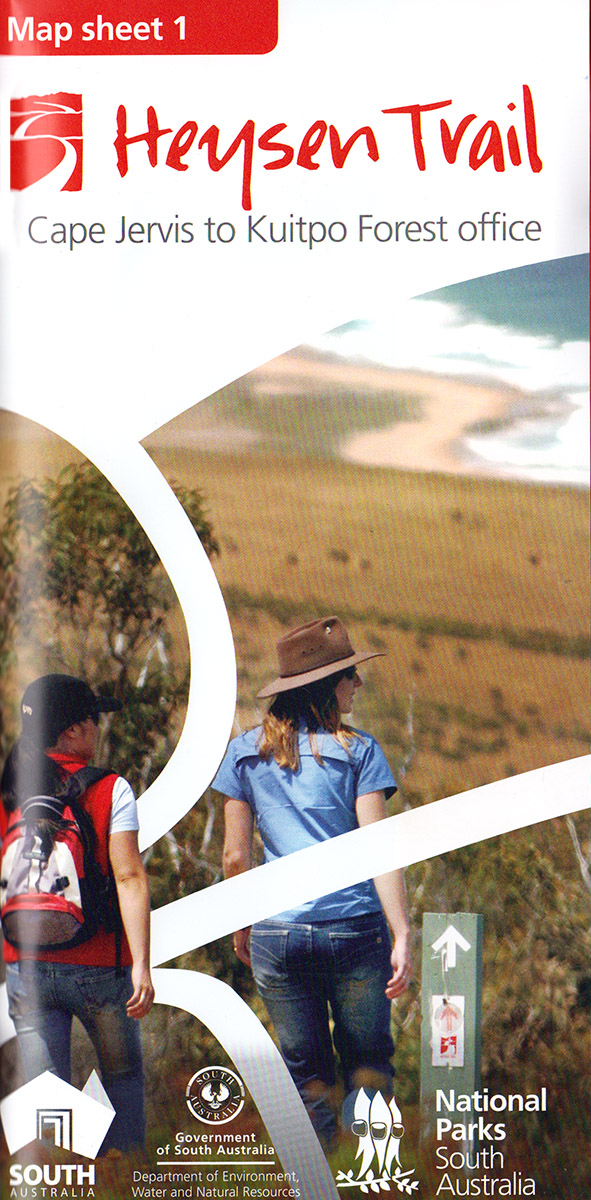
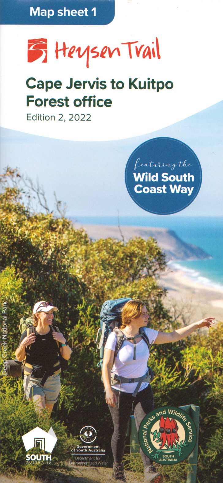
View all re-routes for the Mapsheet 1: Cape Jervis to Kuitpo Forest (Sept 2014)
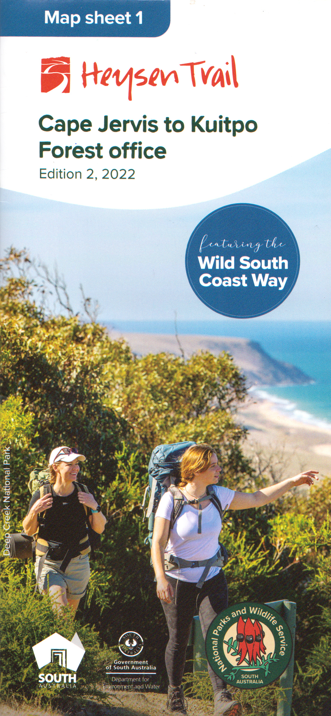
View all re-routes for the Mapsheet 1: Cape Jervis to Kuitpo Forest inc the Wild South Coast Way (Edition 2, 2022)
Big bold idea for Heysen Trail Northern Trailhead
The Existing Northern Trailhead
Exciting news about a bold new proposal to enhance the Heysen Trail northern Trailhead!!
Do you remember the feeling as you started or completed the Heysen at the Parachilna Gorge trailhead? Many have described the climb over that Trailhead stile as “underwhelming” – for such a grand occasion.
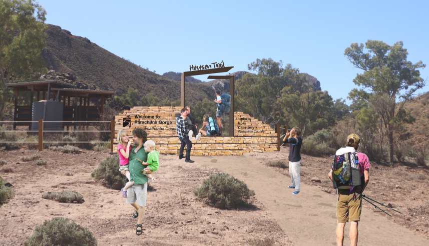
The new design – northbound view
In 2022, The Friends Council supported a proposal to investigate ways to give the 30+ year old Trailhead a makeover.
We envisaged a gateway offering a greater sense of significance and a place of arrival/launching for the 1200km Heysen achievement.
The Friends engaged Landscape Architects to work with The Friends and consult with local landholders, community organisations, and local Adnyamathanha representatives, about a suitable concept – a concept that The Friends Council has now endorsed.
After preliminary discussion with the Department for Environment & Water (DEW), The Friends are optimistic that the go ahead for the concept will be forthcoming.
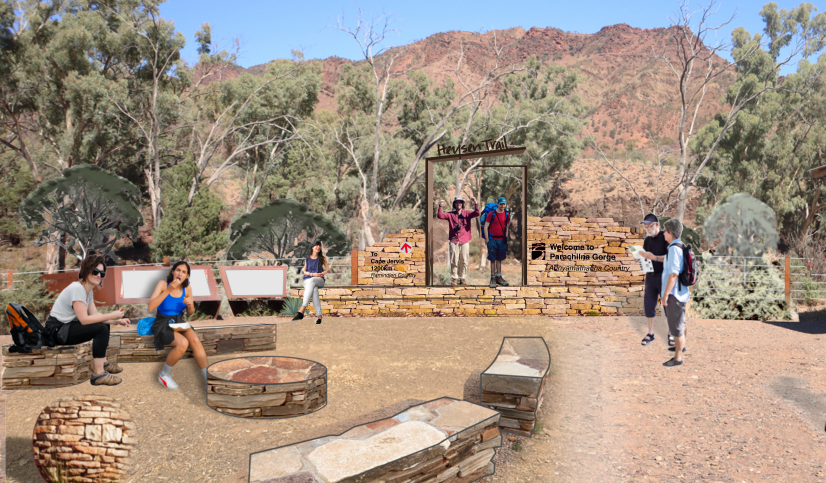
The southbound view
The design concept, shown to the right, looks inspiring and will incorporate planting / landscaping.
A more detailed design package is available by clicking on this link: Heysen Trail Northern Trailhead.
We hope you’ll agree that it’s a worthwhile and very exciting project!
FOHT Website Review – Update
Members would be aware that The Friends Promotion: Membership & Marketing Standing Committee (PMM) has been canvassing views about the need to improve and modernize our website. Consultation across the Friends Committees and a member survey have informed the assessment that it is time to generate a visually appealing website with simpler navigation.
PMM has now completed a tender process by engaging an experienced design and software team to provide The Friends with future design options. PMM is aiming for completion in 2024.
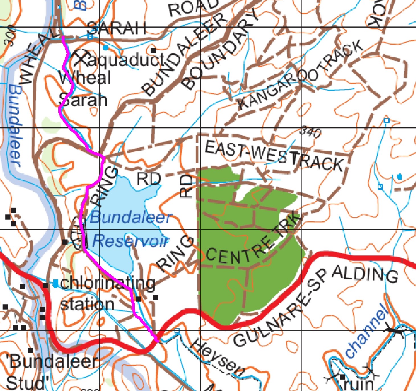
Mapsheet 5A: Bundaleer Reservoir, August 2023, updated February 2024
View pdf map showing re-route
A new reroute has been established near the Bundaleer Reservoir. The reroute crosses into SA Water land on the southern side of the channel opposite the crossing of the Spalding-Gulnare Rd where the Heysen Trail follows the channel from Spalding.
Walking from south to north, the re-route proceeds directly across the Gulnare-Spalding Rd from the channel (Grid Ref 716 938) and crosses a stile next to the SA Water entrance gate. The trail follows a track for 100 m to a ford then directly up the hill to a stile that crosses into SA Water land.
Once in the SA Water land the trail crosses to the Ring Rd around the reservoir and follows this road across the dam wall and around to the Reservoir Car Park/Toilet at the North-Western corner of the reservoir (Grid Ref 710 958).
The trail leaves the car park on the western side and after 50 m crosses a stile into private property, (the trail follows the northern channel but NOT in the fenced off channel land). The trail then follows the fence within the private property until it reaches the Aquaduct where it crosses a stile and meets up with the existing trail (at Grid Ref 706 969) and follows the existing trail north.
New End to End walk start point. The Reservoir car park is now the end point for End to End Walk 33 and the start point for Walk 34. The E2E point has been moved from the Chlorinator, as the trail no longer passes that feature.
Download gpx file for loading onto your GPS unit.
This re-reoute applies to these 2 sections:
View all re-routes for the Mapsheet 5, Spalding to Wirrabara Forest (August 2015)
View all re-routes for the Re-Routes
Heysen Trail GPX files update for GPS: latest edition includes 9 reroutes
 This is a summary of the latest permanent reroutes of the Heysen Trail that have been undertaken by the Trail Development Committee in consultation with the Department of Environment & Water (DEW).
The reroutes have been added to the downloadable GPX file (version 4.4 released 7/8/2023) and the Interactive Map as displayed on Friends of the Heysen Trail website.
You can find instructions for downloading the updated file onto your GPS unit on the Maps & GPS page.
The following re-routes and updates have been added:
- Mapsheet 1A – Reroute around Tapanappa Campsite for the Wild South Coast Way
- Mapsheet 1A-1B – The Wild South Coast Way spur trail from Kings Beach to Victor Harbor
- Mapsheet 1C – Reroute at Robinson Hill/Jaggers Block, September 2022
- Mapsheet 1D – Reroute at Kyeema – exit off Woodgate Hill Rd, December 2022
- Mapsheet 1D and 2A – Reroute at Chookarloo Campground, Kuitpo Forest, January 2023
- Mapsheet 1D and 2A – Alternate Route at Knott Hill Plantation (Kuitpo Forest), April 2023
- Mapsheet 2D – Reroute at Old School House, Mt Crawford Forest, July 2023
- Mapsheet 4B – Realignment of the trail east of Mt Bryan, September 2022
- Mapsheet 8C – Yuluna realignment, Ikara Flinders Ranges National Park, April 2023
Please note the the revised gpx file does not include temporary reroutes such as :
- Those frequently established around Forestry SA logging operations in the Kuitpo and Mt Crawford Forest reserves (Mapsheets 1D, 2A & 2D)
- The Maryvale reroute, south of Hamilton (Mapsheet 3B)
- The Goyder Windfarm reroute, east of Huppatz Hut (Mapsheet 3D
Walkers are advised to check the Heysen Trail Reroutes page before setting out on any walk to make sure you are aware of any recent trail changes.
The reroutes have also had a very minor impact on the Heysen Trail Distances.
Mapsheet 1B: Wild South Coast Way waymarked into Victor Harbor on spur trail, May 2022
As part of the development of the Wild South Coast Way on the Heysen Trail the Kings Head Hike spur trail into Victor Harbor has been waymarked. The trail branches off the main Heysen Trail at Kings Beach and heads to Kent Reserve, Victor Harbor.
Download gpx file for loading onto your GPS unit.
This re-reoute applies to: Section 5: Waitpinga to Tugwell Road
View all re-routes for the Mapsheet 1: Cape Jervis to Kuitpo Forest (Sept 2014)
Mapsheet 1A: Re-Route around Tapanappa Campsite for Wild South Coast Way, May 2022
A minor 2km re-route away from the road at Tapanappa, and a spur trail from Tapanappa into the Yapari Ngawanthi/Cliffs ‘walk-in’ site.
Download gpx file for loading onto your GPS unit.
This re-reoute applies to: Section 2: Cobbler Hill to Tapanappa
View all re-routes for the Mapsheet 1: Cape Jervis to Kuitpo Forest inc the Wild South Coast Way (Edition 2, 2022)
Mapsheet 2D: Re-route at Old School House, Mt Crawford Forest, July 2023
Due to forestry operations the Heysen Trail has been re-routed near the Old School House in Mt Crawford Forest.
Download gpx file for loading onto your GPS unit.
This re-reoute applies to: Section 17: Mt Crawford to Pewsey Vale
View all re-routes for the Mapsheet 2: Kuitpo Forest to Tanunda (Sept 2014)
August 2023
Issue 166
 Highlights include:
- Bob was Right!
- Heysen and the Trail
- Not just Noodles & Porridge
- When End-to-Ends come Face-to-Face
Heysen Trail closure north of Cudlee Creek, 19th-21st May 2023
 Forestry SA has announced that there will be a closure of the Heysen Trail in the Bennett’s Planation, north of Cudlee Creek, from Friday May 19th (all day) till Sunday May 21st (all day).
This is to enable Re-Enact SA to conduct simulated battles in Forestry SA’s Bennett Plantation.
The closure will extend from GR 018 445 to GR 041 460, shown on map sheet 2C; Southern Guide Book map 3.7. (part of section 15 of the Heysen Trail).
The closed area extends northward from where the Heysen Trail intersects the North East Road (north of Cudlee Creek) to a point just south of Checker Hill Road (south of Kersbrook)
For further information or in an Emergency call the Safety Officer on 0428 159 669
or the Forestry SA Ranger on 8391 8800 (option 2).
Mapsheet 3B: Maryvale re-route south of Hamilton, September 2022
This is a temporary re-route
View pdf map showing re-route
A temporary re-route has been marked on the Heysen Trail just south of Hamilton. The affected section of the trail is shown on Heysen Trail Mapsheet 3B..
The re-route has been established to address landholder concerns about walker access to farming property.
For walkers northbound, after exiting a property at grid reference 046 059, the trail now turns left onto Allen Creek Road and continues to the junction with Marrabel Road.
Again the trail turns left and follows Marrabel Road for approx 1.5 kilometres. Walkers are advised to walk on the gravel verge and take extreme care on this section of road.
The trail then turns left and follows Taylors Run Rd before turning right (northwards) onto Hydedale Rd. After 2 kms the re-route rejoins the original trail on Cornvale Road at grid reference 033 100.
Download gpx file for loading onto your GPS unit.
This re-reoute applies to: Section 20: Kapunda to Hamilton
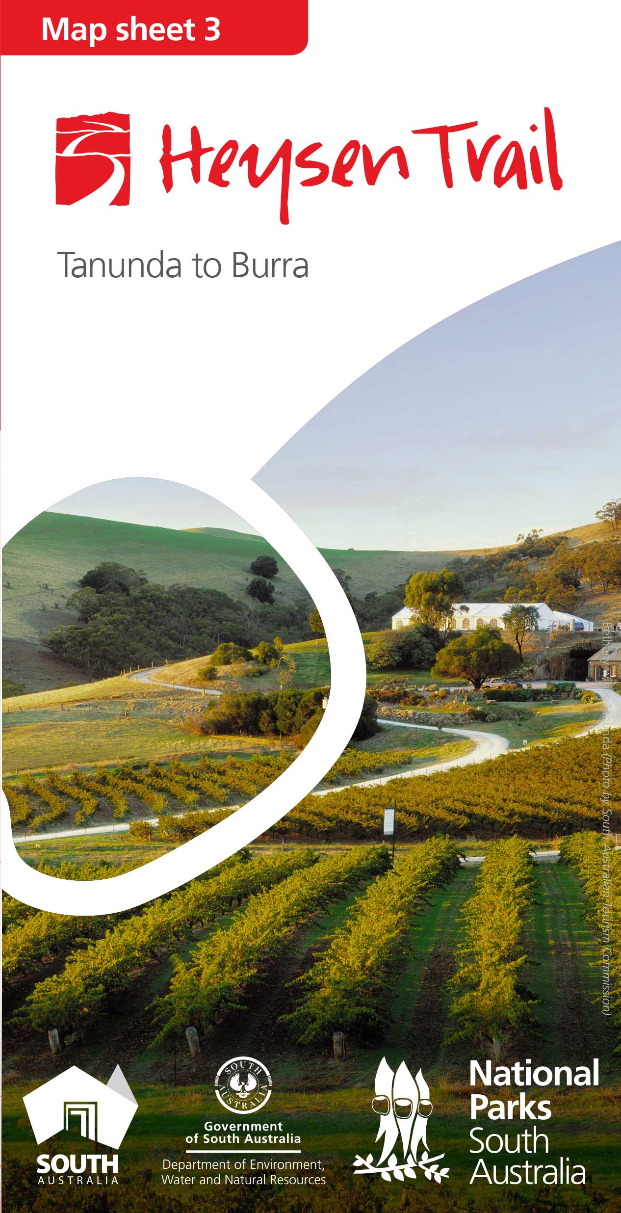
View all re-routes for the Mapsheet 3: Tanunda to Burra (May 2015)
Mapsheet 1D and 2A: Alternate Route at Knott Hill Plantation (Kuitpo Forest ), April 2023
View pdf map showing re-route
Walkers now have the option of two routes through Knott Hill Plantation. The re-route affects both Mapsheets 1D & 2A.
The original route via Knott Hill planation
Following the completion of a logging operation commenced in September 2021, the original trail has been restored.
This route heads westwards along Wicks Road before heading northwards towards Stagecoach Lane (6km).
The new optional route following sections of the Onkeeta & Willunga Basin Trail
The new route involves a walk further to the east.
It departs the main Trail at grid reference 898 027 and follows the Onkeeta and Willunga Basin Trails northward. It skirts along the eastern side of the forest before rejoining the main trail on Stagecoach Lane at grid reference 904 054. The distance for this option is 3.5 kms
This additional route is designed to avoid sections of the Knott Hill plantation which may be logged from time to time.
It is marked as an alternative route, and will remain available in the event of future logging operations nearby.
Download gpx file for loading onto your GPS unit.
This re-reoute applies to: Section 10: Kyeema to Dashwood Gully
View all re-routes for the Mapsheet 1: Cape Jervis to Kuitpo Forest (Sept 2014)
View all re-routes for the Mapsheet 1: Cape Jervis to Kuitpo Forest inc the Wild South Coast Way (Edition 2, 2022)
View all re-routes for the Mapsheet 2: Kuitpo Forest to Tanunda (Sept 2014)
Mapsheet 3D: Goyder Windfarm – temporary re-route east of Huppatz Hut, April 2023
This is a temporary re-route
View pdf map showing re-route
A temporary re-route has been marked north of Huppatz Hut to avoid construction works associated with the Goyder Wind Farm.
The section of the trail affected by the re-route is shown on Heysen Trail Mapsheet 3D.
The existing trail heads east from Huppatz Hut before the re-route diverts walkers from the trail at grid reference 089 509.
The re-route heads due north contouring up the ridge, before a switchback at grid reference 089 514 that brings you to the summit.
The new route crosses the construction road and then heads east adjoining the old trail over a new stile at grid reference 092 514.
While classified as a temporary re-route, we expect that it may be in place for 18-24 months.
Download gpx file for loading onto your GPS unit.
This re-reoute applies to: Section 24: Webb Gap to Burra Road
View all re-routes for the Mapsheet 3: Tanunda to Burra (May 2015)
Mapsheet 8C: Yuluna realignment, Ikara Flinders Ranges National Park, April 2023
The Heysen Trail east of Aroona ruins has been realigned to follow the northern section of the Yuluna loop walk trail.
The re-route relates to both the August 2015 and the November 2020 editions of Mapsheet 8C.
Although this is a relatively small change, (a distance of 2.6 kms) the walk is improved as follows the Yuluna hike and therefore avoids a section of the Bulls Creek Track.
We do not have a map of the reroute at this stage.
Download gpx file for loading onto your GPS unit.
This re-reoute applies to: Section 60: Trezona to Aroona Hut
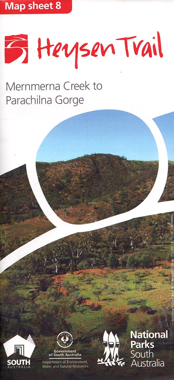
View all re-routes for the Mapsheet 8, Mernmerna Creek to Parachilna Gorge (August 2015)
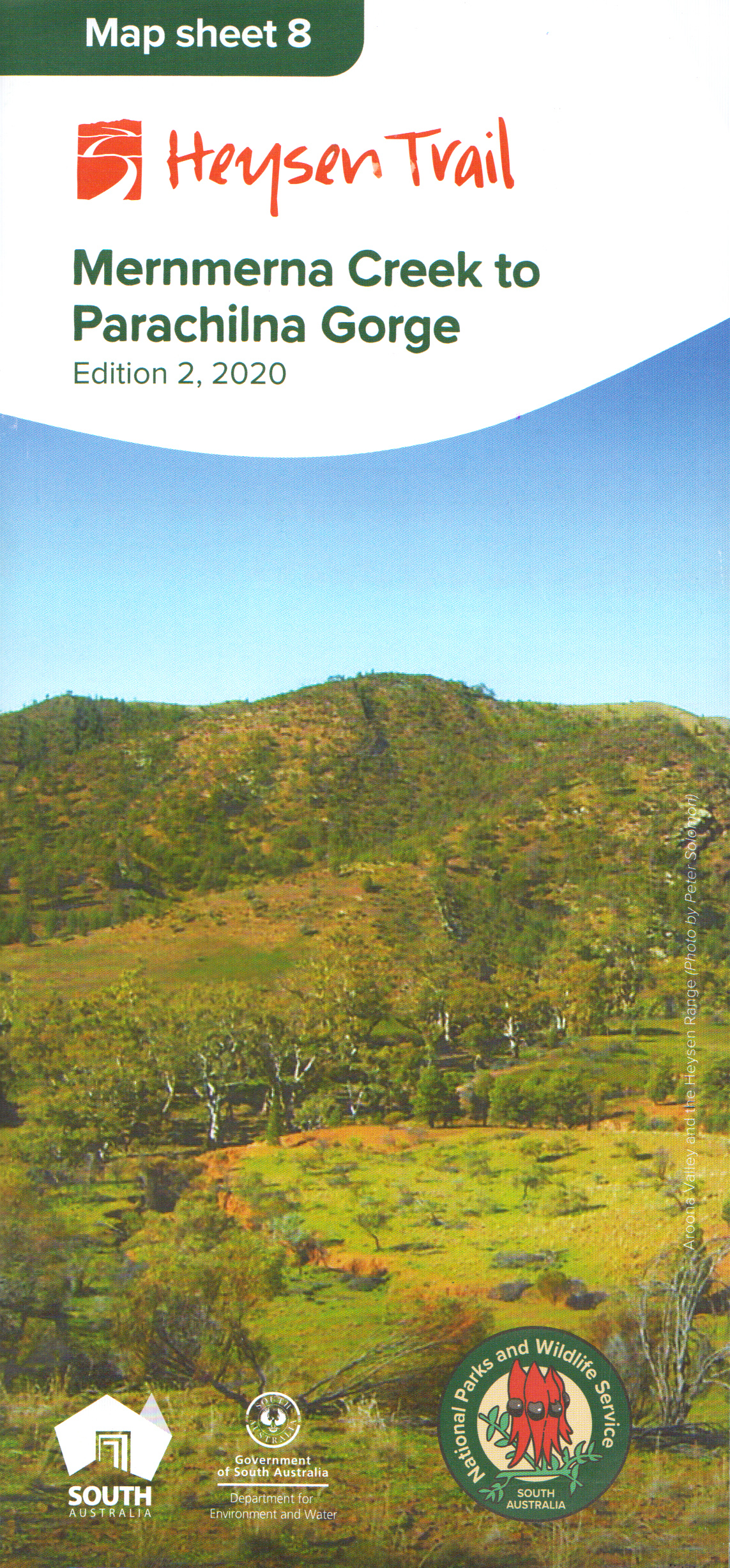
View all re-routes for the Mapsheet 8, Mernmerna Creek to Parachilna Gorge (Edition 2, 2020)
Mapsheet 2C: Error in Grid Reference (Eastings), September 2014
Please note that there is printing error on Mapsheet 2C of the 2014 version of the mapsheet.
The grid references (Eastings) on the bottom are incorrect, so those on the top part of the map should be used.
The Eastings on the bottom half of the map are displaced by 1 km between 980 and 700.
As an example, the true grid reference for Grandpas Campsite, (south of Cudlee Creek township) is 019 395. The Eastings on the top of the map show this correctly, however the bottom reading is 009 395 (incorrect).
This re-reoute applies to these 3 sections:
View all re-routes for the Mapsheet 2: Kuitpo Forest to Tanunda (Sept 2014)
Wild South Coast Way & associated Park closures, 7th-12th May 2023
 There will be a cull for purposes of feral animal control organised by PIRSA/DEW on the South Coast of the Fleurieu Peninsula from 4pm Sunday May 7th until Midday Friday May 12th.
This involves Deep Creek National Park, Talisker CP, Eric Bonython CP and Waitpinga CP.
These parks , the Wild South Coast Way and the Heysen Trail within Deep Creek National Park will be closed for the entire time of the above date span for public safety.
Walkers will not be able to access the Trail during this time.
Camping will not be allowed in the named parks during this time.
For further information visit
https://www.parks.sa.gov.au/know-before-you-go/closures-and-alerts
Animal control program on the Fleurieu Peninsula, 1-14 May 2023

Map highlighting the ‘no shooting/buffer’ zone
Warning to walkers on the Wild South Coast Way on the Heysen Trail.
There will be an extensive animal control cull of feral deer on the Fleurieu Peninsula by PIRSA and other organisations, between 1 and 14 May 2023.
Walkers may be affected if in the region of Boat Harbour Beach, Tunkalilla Beach and the trail to Ballaparudda Creek campground.
The cull will use helicopters carrying thermal technology to detect deer, allowing them to be culled even in dense scrub. Flights will be on week days and weekends, mainly around dawn and dusk, when thermal cameras can detect targets most easily.
The Wild South Coast Way will remain open to walkers during the operation
No shoot and low flying buffers will be put in place around the Wild South Coast Way (Heysen Trail) and Bullaparudda campground, as well as public roads and infrastructure.
The buffer zone relating to the Wild South Coast Way is displayed in orange on the map above.
There is no risk to people or livestock, but if you are in affected areas you may hear low flying helicopters and the sound of gun shots in the distance.
You can find out more information about the operation on the Parks Closure and Alerts page.